Four atmospheric rivers already drenched Pacific Northwest this month
Two more bands of water vapor are set to hit Oregon and Washington this weekend, compounding flood risks from high tides and El Niño conditions.
By Mei Wong ·
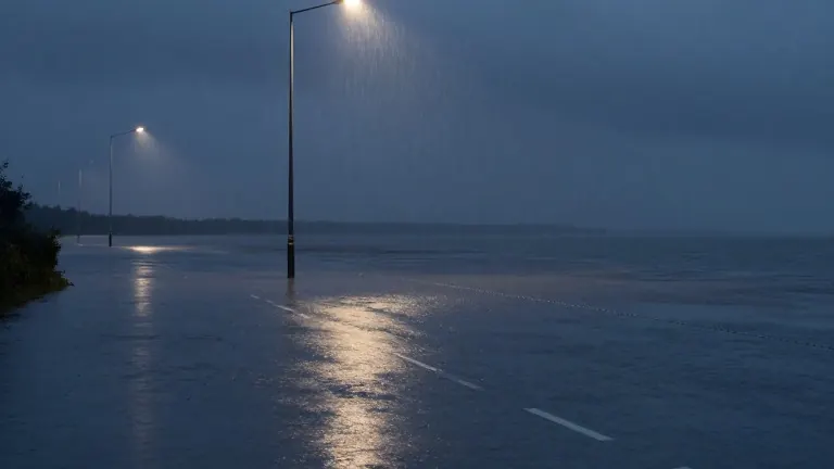
Two atmospheric rivers are scheduled to strike parts of Oregon and Washington on Friday and Saturday, adding to the heavy rains that have already fallen earlier this week.
Four of these narrow bands of water vapor have hit the region since the start of the month. The latest two are expected to arrive back to back, creating a continuous period of wet weather.
Josh Weiss, a meteorologist at the National Oceanic and Atmospheric Administration's Weather Prediction Center, noted that the current season is starting quickly. The atmospheric river season runs from October through March. Each system can deliver multiple inches of rain to both states.
An atmospheric river is a long, narrow band of moisture pushed by wind across the ocean. F. Martin Ralph, director of the Center for Western Weather and Water Extremes at UC San Diego's Scripps Institution of Oceanography, described the formations as literal rivers in the sky. These structures can reach 2,000 miles in length and 600 miles in width.
The weather systems are natural climate patterns. Weiss stated that between 50% and 60% of rainfall in California originates from these formations. However, the current conditions create a specific danger for the Pacific Northwest. The storms are coinciding with King tides, which are the highest tides of the year.
El Niño warm ocean waters are also contributing to the situation. These conditions fuel storm systems and raise sea levels. The combination puts coastal and inland waterways at risk for flooding. Jeff Michalski, a meteorologist at the National Weather Service in Seattle, reported that Washington's coast could face swells reaching 20 feet this weekend.
Ralph pointed to 40 years of data from the Federal Emergency Management Agency. The records show that atmospheric rivers cause at least 90% of all flood damage in the Western United States. Weiss warned that the primary problem occurs when multiple systems strike in succession. This compounding effect increases the likelihood of flash flooding, urban flooding, and landslides.
Residents often hear the nicknames for these storms, such as the Pineapple Express or the Rum Runner Express. These names indicate the origin point of the moisture. A Pineapple Express system moved from Hawaii across the Pacific in late October. It caused severe flooding and multiple deaths in the Four Corners region of the Southwest.
Ralph explained that atmospheric rivers are not unique to the West Coast. Large nor'easters on the East Coast can also contain intense moisture bands. Despite the prevalence of the term in recent news and social media, the science behind the connection to global warming remains under study. Climate scientists say there is currently insufficient data to link the patterns directly to human-caused warming, though warmer air does hold more vapor.
Ralph tested a theory in 2015 suggesting El Niño makes these rivers stronger. His research found the opposite. He stated that the systems do not follow the rhythm of El Niño. Regardless of whether the year features El Niño, La Niño, or neither, Ralph said observers must monitor these formations closely.